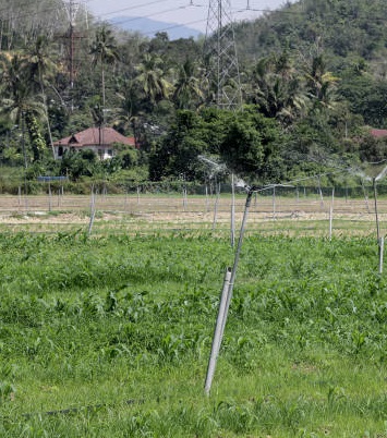
­

Who We Are?

To whom IT MAY CONCERN We, the L & K SOLUTIONS Are a leading company In the area of Land and Quantity Survey, Cartography, Geological mapping, Geotechnical investigation and related Study Of Project Sites, We are well equipped with all Modern instruments and technologies, Viz. Programmable total Station electronic theodolite,electronic distance Meters, automatic levels, Remote Sensing, CAD and a large number of application softwares.


With the advent of electronics and advanced microprocessor based surveying and Mapping Technology, a revolutionary era has started in the area of land surveying and studying The deveiopmental Projects a vital importance, viz. Bridges, constructions, Farming Forest Survey Highways, Housing Hydropower Industry lrrigation & Mining ports and Harbours, Thermal Power, Tunneling Urban and Rural Development, Water ways. These instruments Have Made the Job not only time and labour Saving, but also highly precise and better Understandable.


Our Services

A Wide Range of DGPS & GIS SURVEY,CONTOUR SURVEY,Building layout by total station,DESIGN,DRAWING & DPR,CROSS SECTION & LONG SECTION, ROAD PROJECTS, RAILWAYS PROJECTS, CANAL PROJECTS, IRRIGATION PROJECTS, LAYOUT OR STAKE OUT, POWER PLANT PROJECTS, HOUSE & BUILDING PLAN, TBM FIXING, AUTOCAD DRAWING

PROVIDING BEST QUALITY & CLIENT SATISFACTION WORKS LIKE :

CROSS SECTION & LONG SECTION

CROSS SECTION & LONG SECTION

ROAD PROJECTS

ROAD PROJECTS

RAILWAYS PROJECTS

RAILWAYS PROJECTS

CANAL PROJECTS

CANAL PROJECTS

LAYOUT OR STAKE OUT

LAYOUT OR STAKE OUT

IRRIGATION PROJECTS

IRRIGATION PROJECTS

POWER PLANT PROJECTS

POWER PLANT PROJECTS

HOUSE & BUILDING PLAN

HOUSE & BUILDING PLAN

AUTOCAD DRAWING

AUTOCAD DRAWING

0
Projects Completed
0
Satisfied Clients
0 Years
of Work Experience
0
Skilled Team Members
Our Blog

Latest news

IRRIGATION PROJECTS

Irrigation projects means some engineering structures which collect, convey, and deliver water to the agricultural lands to grow crops. Irrigation projects always vary from small to major. The major irrigation projects always depend on the Culturable Command Area which means CCA.
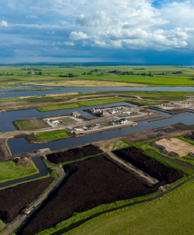
POWER PLANT PROJECT

Land surveying is the technique, profession, and science of accurately determining the terrestrial or three-dimensional position of points and the distances and angles between them, commonly practiced by licensed surveyors, and members of various building professions.
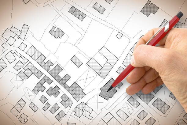
AUTOCAD DRAWING

Land surveyors make extensive use of computer-aided design (CAD) software, as it allows them to accurately visualize and present information on the areas they are surveying. CAD modeling enables them to produce a virtual representation of the features of buildings, landscapes and more.

Contact Us

Let's have a productive talk.

Our Location

1, NEW SHANT NAGAR MINI BYE PASS, NEW SHANTI NAGAR MINI BYE PASS, Bhiwani, Bhiwani, Haryana, 127021

Let's Talk

Phone : 8950502625,99928 69795

E-mail Us

lksolution360@gmail.com


www.lksolutions.co.in